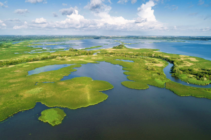
The main aim of the project is to focus on the roles of lakes and reservoirs, toobserve their relevance in flood risk control and reduction and to create a useful tool that serves thetargets of flood risk mitigation.To what extent storage reservoir facilities built on riverscontribute to the reduction of flood risks cannot be appropriately assessed without sufficient,resilient and relevant case-specific data. LAREDAR is expected to provide new insights into theinterrelationship between reservoirs and floods along transboundary river sections, based oninvestigations in the pilot regions. The aim is not only to investigate the existing impacts of reservoirsholistically and at the catchment level, but also to suggest additional good practices that will improveflood risk management.

The LAREDAR project’s main objective is to improve the transnational flood risk mitigationmanagement of the Danube River Basin with elaboration of a concept of a new platform, calledLAREDAR Harmonization Platform, which would enhance sustainable transnationalcooperation. Theplatform should be based on a joint GIS database which will be integrated into the ICPDR frame andcould assist the basin wide sustainable transboundary flood risk management and cooperation.
The two-and-a-half-year project LAREDAR (Lakes and Reservoirs in the Danube River Basin) is led by the Middle Tisza District Water Directorate (Hungary) and involves 11 project partners from eight countries across the Danube Region (Austria, Bulgaria, Romania, Serbia, Slovakia, Slovenia and Ukraine). Interlinked with ICPDR and EUSDR PA4 and PA5, supported by several Associated partners, the project consortium will aim at making an important step towards better coordination in utilizing lakes and reservoirs for flood management within the Danube river basin.
