This activity is part of the development of the VOLTALARM Early warning system-based platform myDewetra that will allow to visualize the risk maps as part of the implementation of the “ Integrating Flood and Drought Management and Early Warning for Climate Change Adaptation in the Volta Basin (VFDM) ”. The VFDM project has completed the activities related to the development of flood and drought risk maps in the Volta Basin using the new information and the existing one available from global datasets (from Satellites Imagery and Geospatial Data Sources), national and local agencies as well as other projects in the region.
 For the development of the risk maps, 61 technicians were recruited and trained in the six countries of the Volta basin (Benin, Burkina Faso, Ivory Coast, Ghana, Mali and Togo) on the preparation of scenario-based exposure and impact maps with the support of the CIMA Research Foundation in collaboration with the Institute for environmental studies (IVM) from the Vrije University.
The project technical partners together with the technicians in the countries, based on several datasets have developed flood and drought risk maps of the Volta basin with a probabilistic approach which considers all possible risk scenarios in a certain geographical area. The results provide indications on possible hazardous events and their impact taking into consideration past and probable future events in a comprehensive risk assessment exercise.
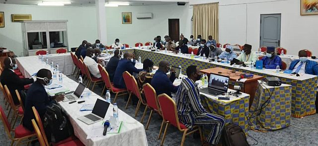
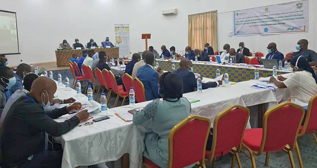 Participants from the six riparian countries got knowledge about the methodological approach used for developing the flood and drought and provided comments and suggestions for their finalization and graphical visualization. The participants provided suggestions on the approach for incorporating the risk maps within the recommendations and action plan document.
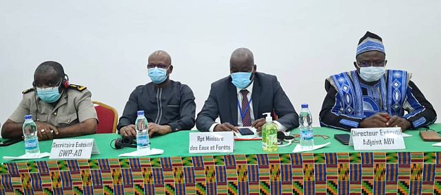
The VFDM project is implemented by the World Meteorological Organization (WMO), the Volta Basin Authority (VBA) and the Global Water Partnership in West Africa (GWP-WA) with funding from the Adaptation Fund. The implementation of the VFDM project involves the active participation of national agencies (in charge of meteorology, hydrology, water resources management, water protection, civil protection, etc.), regional institutions and WMO partners, such as the CIMA Research Foundation, the Italian Civil Protection Department, UNITAR / UNOSAT, IUCN and CERFE/Knowledge & Innovation etc.