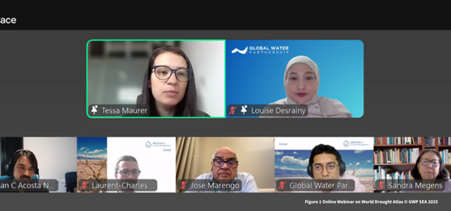
Louise Desrainy, Deputy Regional Coordinator of GWP Southeast Asia (GWPSEA), represented the region by sharing insights on how drought impacts local communities and agriculture. She explained that even though Southeast Asia receives more rainfall than many other parts of the world, drought still causes serious problems, especially for farmers and rural communities who rely on consistent water supply.
Overall, droughts on the mainland Southeast Asia are more frequent, prolonged, and severe than on the Maritime Continent, with the highest severity observed in Thailand, Laos, and the river deltas of Vietnam. These results highlight significant regional variability in drought conditions. Strong weather events, such as El Niño, have exacerbated these droughts in recent decades, particularly affecting crops like rice and maize.
The data showed that a solid understanding of the spatial and temporal variability of droughts over Southeast Asia is required. She emphasised the need for improved drought monitoring systems, more sustainable farming practices, and enhanced water management to help reduce the region’s vulnerability. She also encouraged stronger cooperation between countries to share data and build resilience together.
During the panel discussion, she explained the role of GWP in supporting data communication to non-technical stakeholders for policy making. From GWP-SEA experience, the key is to translate scientific findings into actionable insights using visualization tools, such as interactive maps, trend graphs, or risk dashboards that highlight the socio-economic implications of drought.
We also need to contextualize the information, connecting historical trends from the World Drought Atlas to current policy priorities—for example, linking past drought events with disruptions in food security or economic losses. Using simple language, case studies, and decision-focused summaries that can bridge the gap between science and policy.
Finally, fostering dialogue between scientists and policymakers through regular briefings, co-development of indicators, and capacity-building workshops can help demystify the data and build trust in its use.
The event also featured speakers from Africa, Europe, and Latin America and introduced the World Drought Atlas, a new tool that shows global drought trends. The webinar highlighted how knowledge sharing and regional action can support countries in addressing the growing challenges of climate change and water insecurity.
